Amid the hottest month in recorded history, some records still stand out as absolutely jaw dropping. That’s definitely true of a measurement made in the Arctic this July.
According to data released in the National Oceanic and Atmospheric Administration’s (NOAA) monthly climate analysis, a weather station in Sweden north of the Arctic Circle hit a stunning 94.6 Fahrenheit (34.8 degrees Celsius) last month. As an isolated data point, it would be shocking. But coupled with a host of other maladies, from no sea ice within 125 miles of Alaska to the unruly fires ravaging Siberia, it’s an exclamation point on the climate crisis.
The steamy temperature was recorded on July 26 in the small Swedish outpost of Markusvinsa, which sits on the southern edge of the Arctic Circle. Deke Arndt, a NOAA climate scientist, said on a call with reporters that the data was analyzed and quality controlled by the Swedish Meteorological and Hydrological Institute and that “they have established that as highest temperature north of the Arctic Circle” for the country. For comparison, the hottest temperature recorded in New York City last month was 95 degrees Fahrenheit (35 degrees Celsius).
The heat wave that enveloped the Arctic spread a lot farther than Markusvinsa, though. Alaska recorded its hottest month ever amid extremely weird weather for the state. The heat has driven massive wildfire, and smoke from those fires enveloped Anchorage and Fairbanks, the former of which has had its smokiest summer on record, according to Alaska weather expert Rick Thoman. Salmon dieoffs, the earliest walrus haul out ever recorded, and emaciated animals have also been reported around the state.
During the same press call, Thoman expanded on the reasons why it’s been so weird in Alaska. The big one is the disappearance of sea ice six to eight weeks ahead of schedule, which has left a 125-mile ring of open water around the state. Oceans were already warm going into the summer, but the dark exposed ocean water has absorbed even more heat compared to the normally reflective ice cover.
Thoman called it “remarkable warmth” and said it surpassed the oceanic heat wave dubbed The Blob that gripped the northeastern Pacific in 2015. The hot oceans have in turn heated up the land. Increased evaporation has thus cranked up the humidity, leading to some uncomfortably warm nights in Alaska.
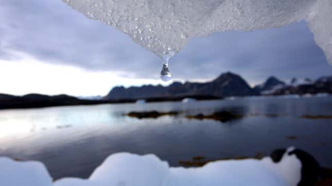
Just as the heat hasn’t been confined to Markusvinsa, the disappearing sea ice isn’t just an Alaskan coast thing. The Arctic Ocean as a whole recorded its lowest July sea ice extent ever, which could have in part helped fuel a bizarre lightning storm just a few hundred miles from the North Pole. Sea ice was a staggering 19.8 percent below average, dipping well under the previous low set in July 2012. Sea ice stans may recall 2012 as the year sea ice hit a record minimum extent. While we’re still six to eight weeks away from the annual sea ice minimum, and things could change in the coming month or so, this year’s icepack is in decidedly bad shape.
July’s Arctic heat is part of a larger global trend driven by carbon pollution. The NOAA data released on Thursday also confirmed that July was the hottest month ever recorded on Earth, with temperature edging 1.7 degrees Fahrenheit (0.95 degrees Celsius) above the 20th-century average. Based on the heat in the first seven months of 2019, the world is almost certain to have one of its five warmest years on record. Using data analyzed separately by Berkeley Earth, climate scientist Robert Rohde tweeted that there’s a 90 percent chance that 2019 will go down as the second hottest year on record, trailing only 2016.