Why was I-94 built through St. Paul's Rondo neighborhood?
Listen and subscribe to our podcast: Via Apple Podcasts | Spotify | Stitcher
Floyd Smaller was a junior walking home from Mechanic Arts High School in the late 1950s when he saw bulldozers and cranes start moving dirt in his beloved Rondo neighborhood. By the time he was a senior, St. Paul's Rondo resembled a battlefield.
"There were big holes and trenches. It looked like World War I," said Smaller, 84. Over the next decade, a huge swath of land on either side of Rondo Avenue became No Man's Land, as more than 600 homes and 300 businesses — many of them Black-owned — were razed or moved to clear the way for Interstate Hwy. 94 connecting St. Paul and Minneapolis.
"They were run out, shoved out, pushed out, forced out," Smaller, a longtime St. Paul high school football, track and basketball coach, said of his neighbors. "It was devastating."
Jim Cox, who returned to Minnesota with his wife in 2016 after 30 years on the West Coast, attended a recent presentation about Rondo and wondered why transportation planners chose to run a freeway through what had been a thriving, integrated neighborhood that was home to most of St. Paul's African American community? He asked the Star Tribune about it as part of Curious Minnesota, our community reporting project based on smart questions from inquisitive readers.
"We heard about a lot of unhealed bitterness and sadness," said Cox, a Circle Pines resident. "And we wanted to learn more."
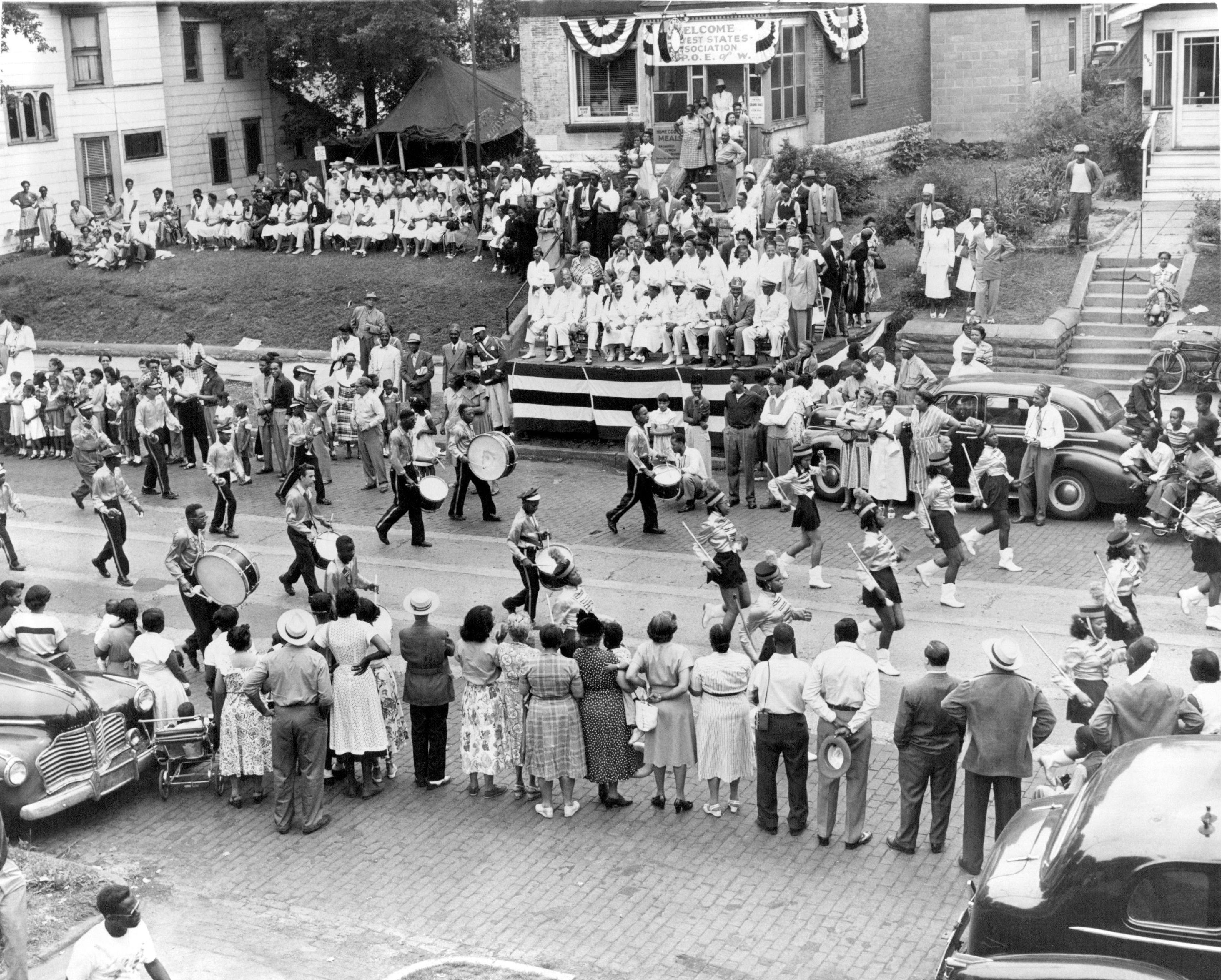
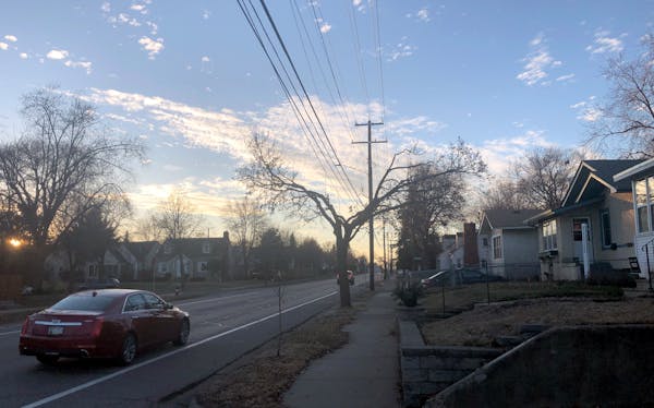
The Rondo neighborhood — bordered by University Avenue to the north, Selby Avenue to the south, Rice Street to the east, and Lexington Avenue to the west — had for decades served as the commercial and social heart of St. Paul's Black community. It nurtured churches, schools, businesses, social clubs and community organizations. It was home to doctors and lawyers, barbers and maids, civil rights leaders and Pullman porters.
But by the 1930s, when at least half the city's Black community was living in Rondo, planners began looking at the area as a potential route for a highway linking the Twin Cities' two downtowns. In 1956, Federal Interstate Highway Act funds enabled the state to start buying land and begin construction. That work continued as Smaller went away to college in 1961 — and was just wrapping up when he returned to St. Paul in 1969. Rondo residents, he said, didn't have pockets deep enough to alter or reroute the project — something predominantly white neighborhoods would at least partly achieve years later.
Marvin Anderson, who with Smaller is working to preserve Rondo's legacy through a community festival, a park and a planned museum, is convinced it was chosen because planners knew they could get land cheap while facing minimal political opposition. The 80-year-old, a former state law librarian who grew up in a Rondo Avenue apartment complex his father built, said St. Paul's close-knit Black community lost more than buildings to the bulldozers.
"Rondo gave its residents a sense of community, a sense of hope, a sense of security," he said. "It gave the Black community a place to learn to succeed without having to rely on the acceptance of whites. The destruction of Rondo destroyed the support system the African American community needed to achieve."
If you'd like to submit a Curious Minnesota question, fill out the form below:
Read more Curious Minnesota stories:
Minneapolis plows its alleyways. Why doesn't St. Paul?
Are motorcycles allowed to be louder than cars in Minnesota?
Do the Twin Cities really get their drinking water from the Mississippi River?
Did German POWs really work on Minnesota farms during World War II?
What was the most destructive tornado in Minnesota history?
Who decides when the I-35W bridge is lit in color, and how is it done?
Why do some major Twin Cities highways not connect directly?
Why is Minnesota more liberal than its neighboring states?