Minnesota Weather: Days Are Numbered For Fresh Snowpack After March Storm
MINNEAPOLIS (WCCO) -- A March storm is moving out Monday night after dumping up to a foot of snow in some parts of Minnesota.
Meteorologist Chris Shaffer says the storm system exited the state between 9 p.m. and 10 p.m., leaving just some scattered flurries in its wake -- as well as treacherous road conditions.
WCCO Weather Watchers provided an impressive array of snow total data, with the most accumulation in southern Minnesota:
- Mankato: 12"
- Rochester: 9.3"
- St. Peter: 7.5"
- Geneva: 7.3"
- Pine Island: 7"
- Faribault: 7"
- Savage: 4.5"
- Burnsville: 3.5"
- Minneapolis: 2.6"
- Inver Grove Heights: 2.1"
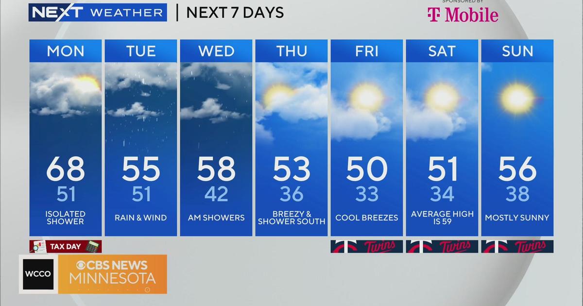
This heavy snowpack will only stick around for the next few days. We'll be stuck in the clouds Tuesday, which will be another day with below-average temperatures. Highs will only reach into the upper-30s.
St. Patrick's Day will be slightly warmer, with highs in the mid-40s and good pockets of sunshine.
But Mother Nature will really start taking care of the snow by Thursday, when we'll begin a stretch of days in the 50s, with dominant sunshine. There is also a potential of highs reaching into the low 60s sometime this weekend.
The next storm system is expected to arrive Sunday or Monday, but it will only be bringing rain this time around.


